

Ultimate Guide to Isangano Safari
Find Isangano Safari Tours from Verified Zambia Operators
The Ultimate Guide to Isangano Safari
Isangano SafariIsangano National Park is a protected area of about 840 km² in Zambia’s Northern Province, lying on the northern margin of the Bangweulu Wetlands. It combines vast floodplains, dambos, lagoons, and miombo woodlands, creating a unique transition zone between wetland and dryland ecosystems. Established first as a game reserve in 1957 and declared a national park in 1972, Isangano has faced decades of decline due to illegal settlement, deforestation, and poaching, leaving wildlife populations depleted but birdlife still abundant.
Today, Isangano is as much a story of conservation challenges as it is of ecological richness, symbolizing the tension between rural communities and wildlife protection in Zambia.
Geography & Landscape
The park sits at an average elevation of 1,200 m, with seasonal rainfall of about 1,300 mm. Flooding peaks in April, while dry land is most extensive in November–December. The terrain is extremely flat, so even small changes in water levels cause the floodplain edge to advance or retreat by many kilometers.
Three major rivers define Isangano’s boundaries and ecology:
Lukutu River – forming the western boundary in a wide dambo floodplain.
Lubansenshi River – flowing through the park with swamps, meanders, and lagoons.
Chambeshi River – forming the southeastern boundary, linking Isangano to the wider Bangweulu system.
The southern floodplain merges with the Bangweulu Wetlands, while the northern half is dominated by miombo woodland interspersed with dambos. This mosaic of habitats once supported large herds of antelope and elephants, though today wildlife is scarce due to human pressures.
Ecology
Flora
Vegetation includes miombo woodland, seasonally inundated floodplains, and permanent swamps. Native grasses and dambos provide grazing for wildlife and livestock. The wetlands are prime bird habitats, especially during flood season.
Fauna
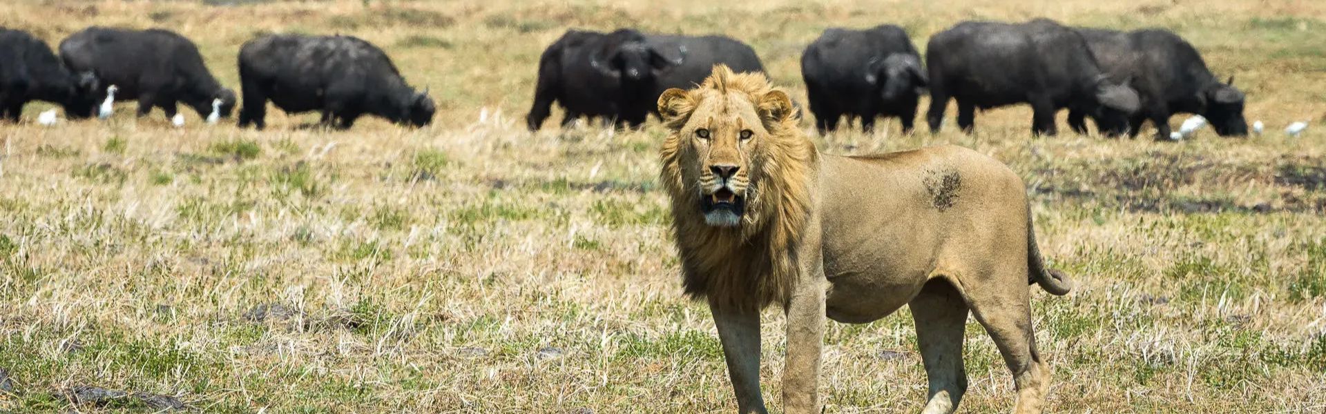
Over 300 bird species thrive here, many migratory or water-dependent. Game animals such as black lechwe, sitatunga, tsessebe, reedbuck, buffalo, hippos, crocodiles, and elephants were once common, but populations have declined sharply. Small numbers of antelope, zebra, and warthog can still be found, though sightings are rare.
Birdlife remains the park’s strongest attraction, with seasonal flocks creating spectacular scenes across floodplains and lagoons.
Conservation Challenges
Isangano has long struggled with illegal settlement and farming. Satellite imagery shows widespread slash-and-burn gardens and villages strung along bush paths. By 2016, over 10,000 people in 43 settlements were living inside the park. Despite court orders and government resolutions, eviction and resettlement efforts have stalled due to boundary disputes, political interference, and logistical challenges.
The Department of National Parks and Wildlife (DNPW) advocates community-based management, but lacks resources to enforce evictions. Parliamentary debates have even questioned whether Isangano should be degazetted (abolished), though the government has insisted it remains a national park.
This situation makes Isangano a case study in balancing conservation with rural livelihoods.
Activities
Visitors to Isangano National Park can enjoy:
Birdwatching: Spot migratory flocks and wetland species across floodplains.
Wildlife Viewing: Small populations of antelope, buffalo, and hippos remain.
Boat Safaris: Explore the Chambeshi and Lubansenshi rivers with their lagoons.
Photography: Capture floodplain scenery, dambos, and birdlife.
Historical Exploration: Retrace David Livingstone’s 1873 journey through the wetlands.
Visitor Tips
There are no facilities no gates, lodges, or ranger posts so travel is self-supported.
Access is difficult: dirt tracks from Luwingu or Kasama require 4WD vehicles and may be impassable in rainy season.
Boat access is possible via the Chambeshi River, but navigation is tricky.
The nearest airport is Kasama Airport, about 150 km away.
Travel with private tour operators who occasionally offer guided safaris.
Respect local communities many live inside the park despite its protected status.